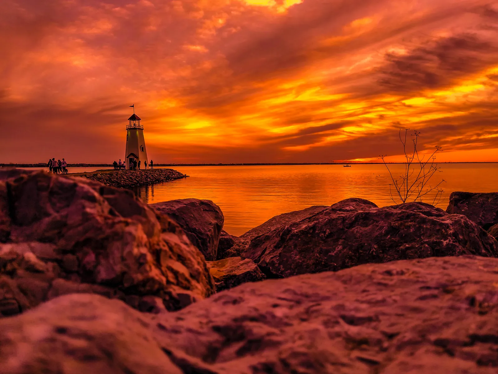
Lake Hefner is one starting point; the Oklahoma River and Overholser offer others. The City of OKC’s official trails page gathers routes, locations, and distances in an interactive map so you can choose a walk that fits your day.
A photo of Lake Hefner can give you a destination. The map helps with the practical part: where to start, how far to go, and how you’ll get back.
Start with time and a meeting point
Decide how long the group wants to be out, including getting to the trail. Pick a named parking area or entrance and send that location to everyone. “Meet at the lake” leaves too much room for separate starting points.
For a short outing, consider an out-and-back section. Set a turnaround time with room for breaks. A trail’s listed total distance doesn’t mean you need to cover all of it.
Compare the route details
The city lists the Bert Cooper Trails around Lake Hefner, Oklahoma River Trails, Overholser Trail, and other routes. Read the details for the section you choose, including whether it is dedicated trail space or includes a shared road or street connection.
Use the official map to check entrances, connections, and the route back. If someone needs a particular surface, slope, rest point, or access arrangement, seek current details for that section rather than relying on a general description of the network.
Check before setting off
Look at the current weather and daylight for the time you plan to walk. Take water and what you normally need for the conditions. Check city notices or contact the parks team for closure questions; the official trails page includes that contact route.
If you’re unfamiliar with the area, save the map and starting point on your phone. Don’t assume that a connecting trail returns to the same car park.
Keep the first plan short
Choose a section you can comfortably return from. Afterward, note the starting point, the time it took your group, and anything you’d change for next time. Your own outing notes are more useful for a repeat visit than a distance copied without context.
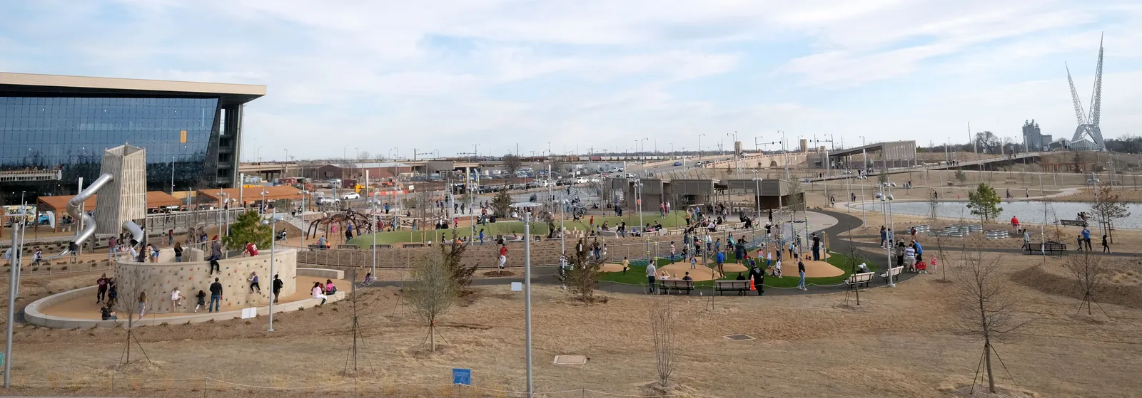
If you want a downtown park outing instead of a trail route, plan a short Scissortail Park walk. You can also build a weeknight around one main stop without filling the evening with extra driving.
OKC trail questions
Is the full lake loop necessary?
No. Choose a suitable section and a return plan from the map. Check that the section works for everyone coming.
Where do I check trail closures?
Start with the official city trails page and its listed closure contact. Conditions on the day still matter.
Can I use the same plan for cycling?
Check the route’s allowed uses and shared sections first. A walk plan doesn’t establish whether every connection suits a bicycle trip.